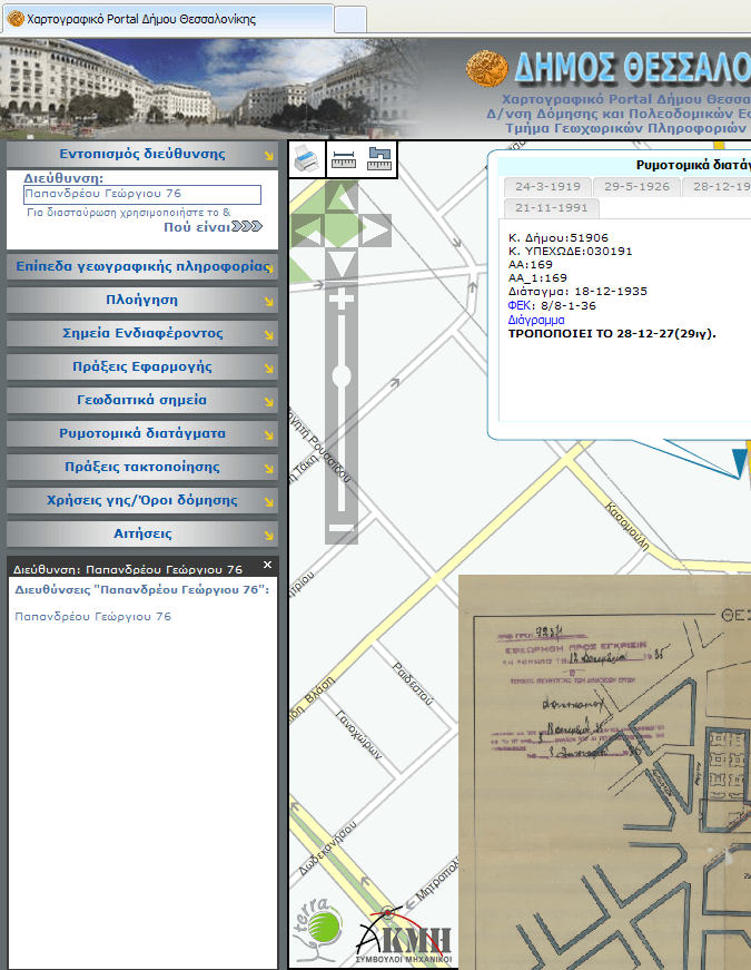
Geographic Information Systems (GIS) are a valuable tool that relies on cutting edge technology and contributes to any modern decision making project that takes into account all information related to a geographic area
Specifically, GIS combines mapping with databases. AKMI has the knowhow, the appropriate software and the specialized personnel for undertaking any GIS or mapping project.
GIS contributes in the fields of:
Specifically, GIS combines mapping with databases. AKMI has the knowhow, the appropriate software and the specialized personnel for undertaking any GIS or mapping project.
GIS contributes in the fields of:
- Mineral & Natural resources
- Regional and Urban Planning
- Cadastre
- Transportation and road planning
- Utilities and communications
- Local Government
- Natural resources
- Education - Health - Welfare and Publication of thematic maps
- Decision making
- Real estate


